Challenge
Durham County Council is the unitary authority for County Durham in North East England. It is responsible for public services, including maintaining and repairing roads, drainage, street works and highway inspections.
With such an extensive work programme being delivered by the council across various teams, time was being lost waiting for information. Projects were delayed because managers had to wait for plans to arrive showing where existing assets were located underground.
There was a need for a more structured system for accessing underground asset information, as individual teams were using their own approaches to obtain data from third-party search providers and asset owners. This made it harder to access the information they needed to plan to dig safely.
Wasting any time equates to wasting public money, and Durham County Council was determined to explore ways of making its operations more efficient.
Solution
Durham County Council joined an early pilot for the National Underground Asset Register (NUAR) in 2023. NUAR is a government digital service, operated by Ordnance Survey (OS), that provides instant access to a secure and standardised map of underground pipes and cables in England, Wales and Northern Ireland.
NUAR is designed to improve the efficiency of the way buried infrastructure is installed, maintained, operated and repaired, through bringing asset owner data together in a secure and standardised format and style, that’s instantly accessible, to complement existing safe digging practises.
Over 400 asset owners across the public and private sectors have joined the service so far, resulting in the data covering over 80% of the known underground assets.
Kevin Ferguson, Project Manager for Integrated Highways Asset Management Service at Durham County Council, championed NUAR internally.
He promoted the service to teams across the highways department and other functions that undertake or support excavation work. He provided short, practical training sessions on how to use NUAR, demonstrating how easy it was to select underground locations on screen, view and filter results, and export a PDF map.
Users found NUAR straightforward to learn and it caught on quickly. Durham County Council now has almost 150 active NUAR users, with more ready to join.
Result
Positive results were seen almost immediately. Searches that previously depended on responses from several sources could now return information almost instantly. This gave staff back valuable time. Teams could identify asset owners and be aware of risks more efficiently, rather than relying on separate processes and differently formatted plans. Information was easier to access and to share across council functions, providing a clearer starting point for planning and investigations.
"NUAR is a real game changer and speeds up the work so much – and speed is money. The quicker we can get onto a job and the quicker we can solve a problem, the cheaper it is. Previously, with older systems that I’ve been involved with for 20 to 30 years, it can take a couple of weeks to find out where services underground are. In an emergency, you wouldn’t be able to wait that long. You would have to go in and hand dig very carefully, with the associated hazards that come with that. The game changer with NUAR is that we know almost instantly exactly what we are dealing with in the ground. Often, it will lead to the solution as well. If there are a lot of services in that area, it is quite common for those to interfere with highways drainage, so NUAR can lead us to where we need to look."
Highways inspectors found they could direct Section 81 enquiries to the appropriate organisations more quickly. Street works teams found it easier to examine the density of assets underground when reviewing permit durations to ensure they were realistic, while planning and project teams were able to identify constraints earlier in the planning process of an excavation.
For teams on the ground, NUAR supports their safe digging practises, while aligning with existing regulations and safe digging services. For example, street works inspectors can use it when checking open excavations.
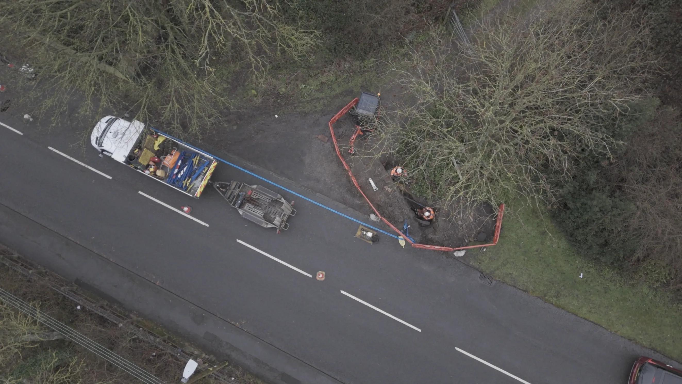
Using NUAR on mobile devices was reported as particularly beneficial for drainage operatives, as if required, they can view information while working on site, to augment the information they will have got through existing safe dig services.
"In common with other local authorities up and down the country, the system we were using was not as quick as we would like. We were among the fastest nationally to do something about it, as one of the first to adopt NUAR. There's less waiting now. When I look at all of the teams, certainly within highways, there’s a more structured approach now. We've got a system that deals with all the underground assets, to assist our planning of works. It’s simplified working between teams as well, which is much better. In some cases, it has saved weeks’ worth of time. Our drainage teams noticed a massive improvement."